On this page, you can find interactive maps of the Langley East riding, community gaming grants in Langley, provincial funding in Langley, local farms and fun family activities.
* Please note to refresh the page if maps are not loading.
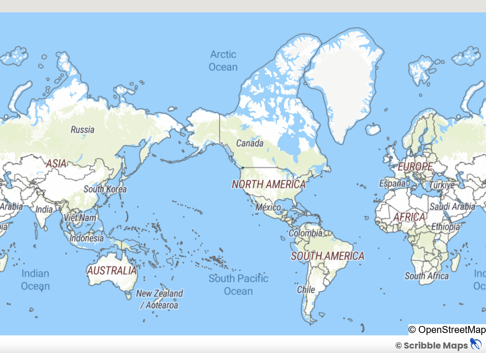
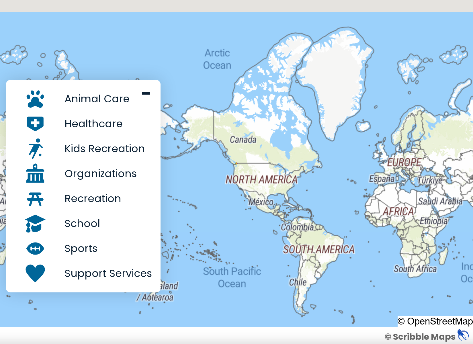
Langley East Riding
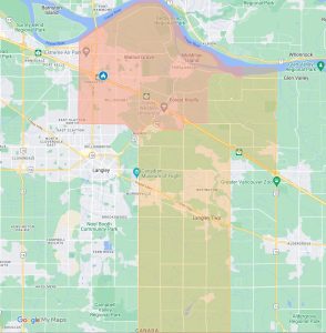
By clicking the “view larger map” square on the top right, you can view an additional webpage map showing resources and businesses found in the Langley area. More resources and businesses will be added to this map, along with a list of resource categories below.
The map currently displays the locations of:
- Langley Daycares
- Langley Elementary Schools
- Langley Middle & High Schools
- Langley Private Schools
Community Gaming Grants
Locations featured on this map were recipients of provincial government gaming grants between 2017-2021.
Click on the image to visit the interactive map.
Provincial Funding
Locations featured on this map were recipients of provincial government investments between 2017-2021.
Click on the image to visit the interactive map.

Local Farms
The map below includes 40 local farms, vineyards, breweries and more—all in Langley!
Click on the image to visit the interactive map.

Family Activities
The map below shows 40 fun activities in and around Langley for the whole family!
Click on the image to visit the interactive map.